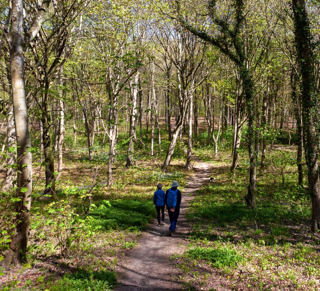
Shepherds Green is surrounded by a number of walking and cycling routes providing access to destinations nearby and the rest of Hampshire. Take a look at your local walking and cycling routes below:
New Forest District Council have published a Cycle Route Map. This promotes several approved cycle routes across the district, including a connection from Everton Road and along Hordle Lane towards Downton, Barton on Sea, Milford on Sea and Keyhaven to the south.
For other information and to find alternative walking routes in the area visit:
The National Cycle Network provides huge benefits to health and wellbeing, with 4.4 million people using the network between 2017 and 2018. 786 million walking and cycling trips were made on the Network. As a result, £88 million was saved through reduced road congestion.
For more information on the National Cycle Network visit the SUSTRANS website: